With over 200,000 residents spread across a valley carved by the Santa Clara River, Santa Clarita's geology is a complex mix of alluvial deposits and ancient bedrock. Getting a clear picture of subsurface conditions here, especially where coarse gravels dominate and standard penetration methods struggle, requires a different approach. Our laboratory team runs electrical resistivity surveys and VES (Vertical Electrical Sounding) to map stratigraphy, locate groundwater, and identify potential voids without excessive drilling. The 1994 Northridge earthquake reminded every engineer in this valley that what lies beneath matters, and resistivity data feeds directly into the seismic microzonation assessments that updated building codes now demand for critical structures across the city.
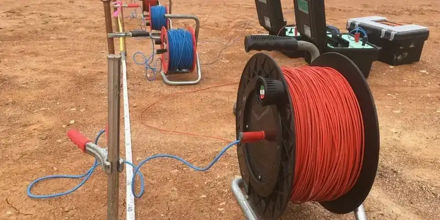
Resistivity imaging lets us see the continuity of subsurface layers between boreholes, a critical step in complex alluvial settings like Santa Clarita.
Technical details of the service in Santa Clarita
Local geotechnical conditions in Santa Clarita
Urban growth in Santa Clarita has pushed development onto older alluvial fans and hillside terraces where undocumented fill or remnant landslide debris can hide beneath a uniform surface. Resistivity surveys directly address this risk by mapping the boundary between engineered fill and natural ground, a distinction that mechanical logs alone can miss if the fill is granular. A false sense of uniformity in these transition zones has led to differential settlement issues in the past, particularly in neighborhoods expanding toward the San Gabriel fault zone. The data we collect allows the project geotechnical engineer to confidently position boreholes, specify compaction grouting, or redesign drainage before a costly problem manifests during construction. Our ISO 17025-accredited lab ensures the field measurements are backed by verifiable calibration records.
Our services
We carry out turnkey resistivity testing in Santa Clarita, covering field acquisition, data processing, and final reporting. Each project is assigned an in-house geophysicist.
2D Electrical Resistivity Tomography
A multi-electrode survey that builds a continuous cross-section of subsurface resistivity, ideal for mapping fault zones and buried channels along proposed building footprints.
Vertical Electrical Sounding
A single-point depth sounding technique used to model horizontal layering, effective for estimating depth to bedrock and groundwater table in flat-lying areas of Santa Clarita.
Correlation & Integrated Reporting
We merge resistivity profiles with your existing geotechnical logs to produce a calibrated ground model, helping refine the design of deep foundations or retaining structures.
Questions and answers
What is the typical cost of a resistivity survey in Santa Clarita?
For a standard 2D resistivity line spanning 200 to 400 feet, costs in the Santa Clarita area generally range from $690 to $980. The final price depends on line length, electrode spacing, and terrain accessibility.
How does VES differ from a standard 2D resistivity scan?
A vertical electrical sounding uses a single expanding array to read changes with depth directly beneath one point, assuming horizontal layering. A 2D scan spans a line for lateral and vertical imaging, better suited for dipping strata or localized anomalies.
Can resistivity testing replace a soil boring?
It complements but does not replace borings. Resistivity identifies boundaries and anomalies between boreholes, reducing the total number of borings needed and targeting them more intelligently, but physical samples are still required for material classification.
How long does a survey take on site?
A crew of two can typically complete a 400-foot line with 10-foot electrode spacing in about 3 to 5 hours, including setup, data collection, and breakdown. Larger grids or rough terrain may extend the day.