In Santa Clarita, the interplay between the San Gabriel and Santa Susana Mountains creates complex basin-edge effects that standard code spectra often miss. Our team has mapped numerous sites across the valley, from alluvial fans near Newhall to the older terraces in Saugus, and the site response varies sharply over short distances. A seismic microzonation study quantifies these variations by integrating shear-wave velocity profiles from MASW or downhole testing with detailed geotechnical logs. We use this data to define design ground motions specific to your parcel, rather than relying on generic ASCE 7 classifications. For deeper characterization, we often combine the MASW method with borings to constrain the velocity model at depth, and where the water table is shallow, we run parallel liquefaction assessments to feed directly into the hazard map.
A site-specific spectrum for Santa Clarita basin deposits often shows amplification at periods 0.5–1.5 seconds, right where mid-rise structures are most vulnerable.
Technical details of the service in Santa Clarita
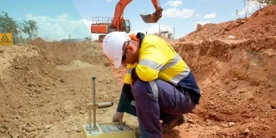
Local geotechnical conditions in Santa Clarita
The borehole rig we mobilize in Santa Clarita is equipped for both standard penetration testing and downhole seismic data acquisition in the same push, which cuts field time when the drilling window is tight. The real risk we see repeatedly in this city is underestimating the site class. We have encountered profiles near the I-5 corridor where a stiff surficial crust overlies softer, compressible layers, and using a simple Vs30 average to classify the site masks a significant basin-edge amplification that only a microzonation study reveals. The difference between a Site D default spectrum and the site-specific one can exceed 40 percent in spectral acceleration at certain periods. Failing to capture that means either an uneconomically overdesigned structure or one that does not meet the code's collapse prevention goal.
Our services
A complete seismic microzonation study in Santa Clarita draws on several integrated investigation methods. Each piece of data constrains the ground model and reduces the uncertainty in the final design spectrum.
Geophysical Survey (MASW/ReMi)
Active and passive surface wave methods to map Vs30 and deeper velocity structure across the property, with 2D profiles that capture lateral variations in stiffness.
Downhole Seismic Testing
Vs and Vp measurements at 1.5-m intervals in a cased borehole, providing the high-resolution velocity log needed for site response analysis.
Site Response Analysis
1D equivalent-linear modeling using input motions matched to the regional uniform hazard spectrum, producing surface acceleration time histories and response spectra.
Liquefaction Hazard Mapping
Integration of SPT or CPT data with groundwater monitoring to compute factor of safety against liquefaction and estimate lateral spread displacement.
Questions and answers
When does the Santa Clarita building department require a site-specific seismic study instead of the default code spectrum?
The trigger is typically a Site Class F profile (liquefiable soils, peat, very high plasticity clays, or deep soft clay per ASCE 7-22 Chapter 20) or a structure assigned to Risk Category III or IV where the mapped spectral acceleration exceeds certain thresholds. We also see it requested when the seismic design category jumps from D to E, or when the geotechnical report identifies a basin-edge condition that the default coefficients do not cover.
How much does a seismic microzonation study cost in the Santa Clarita area?
For a typical commercial or industrial parcel in Santa Clarita, the combined field investigation and site response analysis runs between US$4,190 and US$14,490, depending on the number of boreholes or CPT soundings, the depth of investigation, and whether 2D effects need to be modeled.
What is the difference between a probabilistic and a deterministic seismic hazard analysis?
A probabilistic analysis (PSHA) integrates all possible earthquake scenarios on all contributing faults, weighted by their recurrence rates, to produce a uniform hazard spectrum with a stated probability of exceedance. A deterministic analysis picks one or two controlling scenarios and computes the ground motion directly. Our microzonation studies typically use the PSHA results to define the rock motion, then apply site response analysis deterministically to propagate it through the local soil column.
How deep do you need to drill for a reliable site response model in the Santa Clarita Valley?
We typically extend borings or CPT soundings to at least 30 meters, which is the standard depth for Vs30 calculation, but for basin sites with deep alluvium we often go to 60 meters or until we encounter engineering rock with a shear wave velocity above 760 m/s. The exact depth is decided after a preliminary review of regional geologic maps and any existing geophysical data.